Home
Collections
Exhibitions
Research
Timeline
Our Building History & Renovation
In the Media
Blog
Grants
Event Calendar
Walking Tours
Families and Children
Visit
Join & Give
Volunteer
Internships
Photo Archives
Historical Maps Gallery
Mission & Vision
Board of Directors
Staff
Contact
Community Sponsors
Strategic Plan Summary
Menu
262 Main Street
Wellfleet, MA 02667
(508) 349-9157
Home
The Museum
Collections
Exhibitions
Research
Timeline
Our Building History & Renovation
In the Media
Blog
Grants
Programs & Events
Event Calendar
Walking Tours
Families and Children
Visit
Join & Give
Get Involved
Volunteer
Internships
Photo Archives
Photo Archives
Historical Maps Gallery
About
Mission & Vision
Board of Directors
Staff
Contact
Community Sponsors
Strategic Plan Summary
Historical Maps
View fullsize
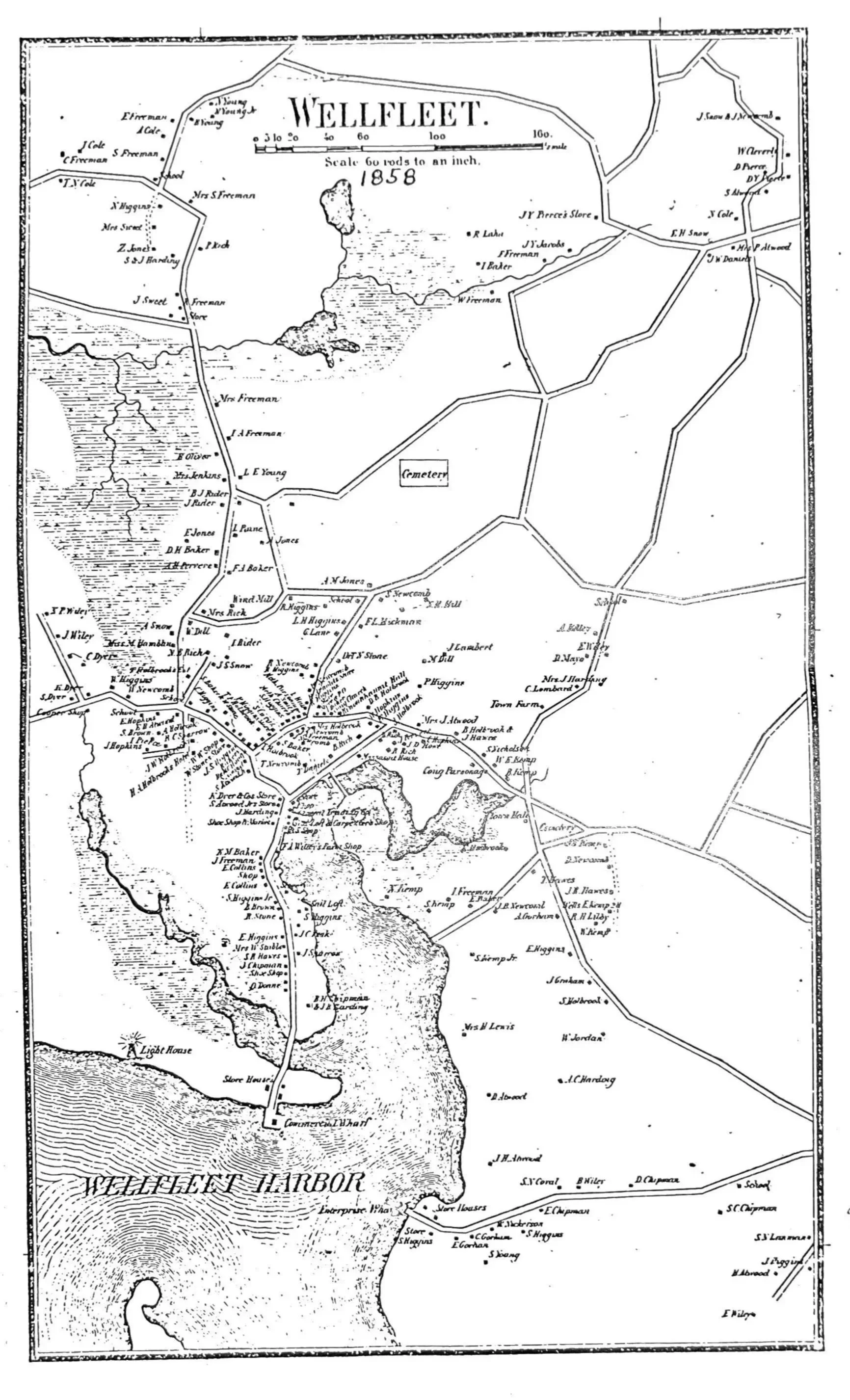
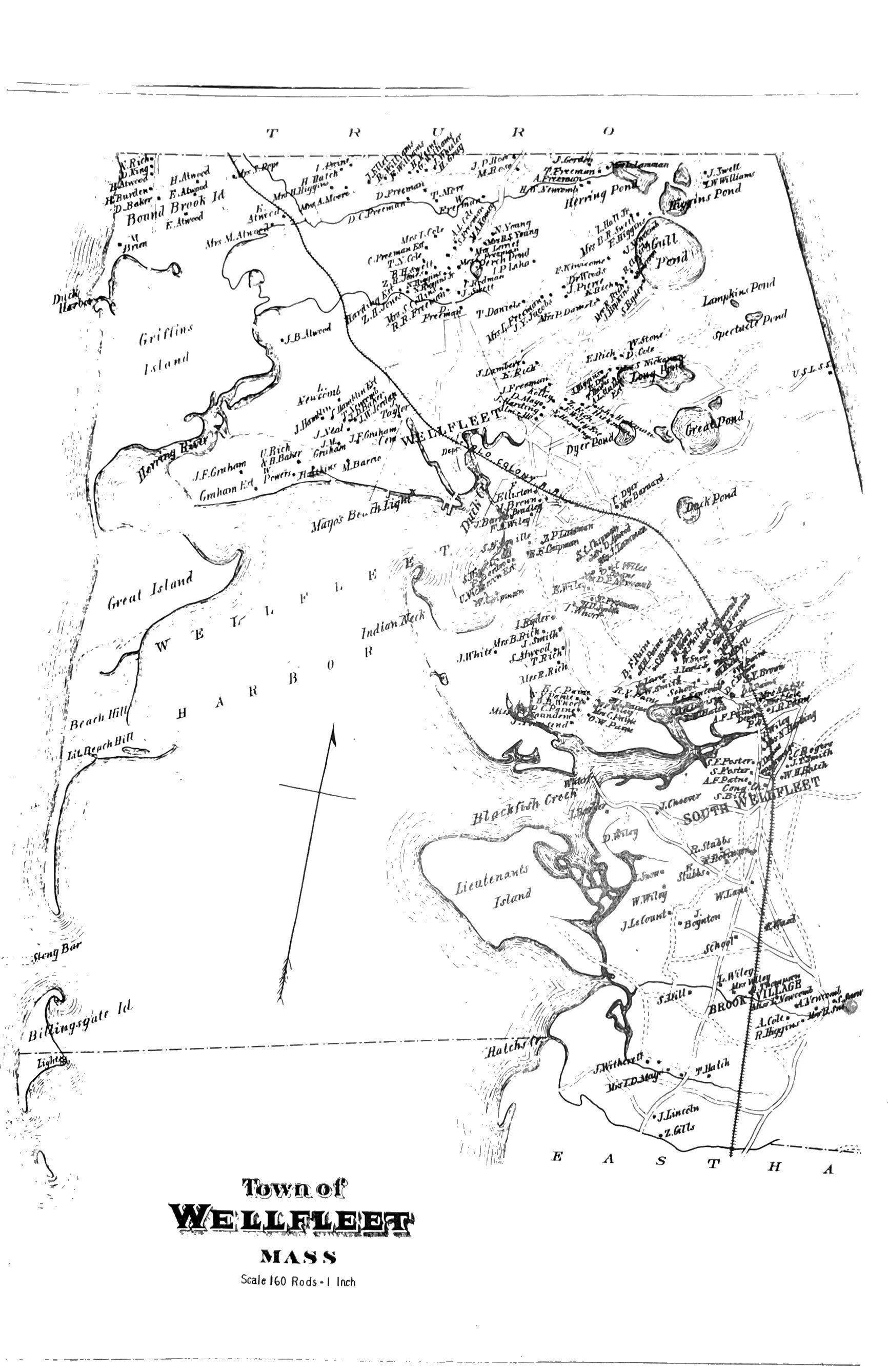
1858 Census Map
View fullsize
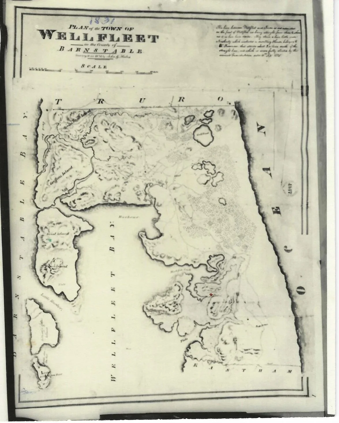
1831 Plan of the Town of Wellfleet in the County of Barnstable
View fullsize
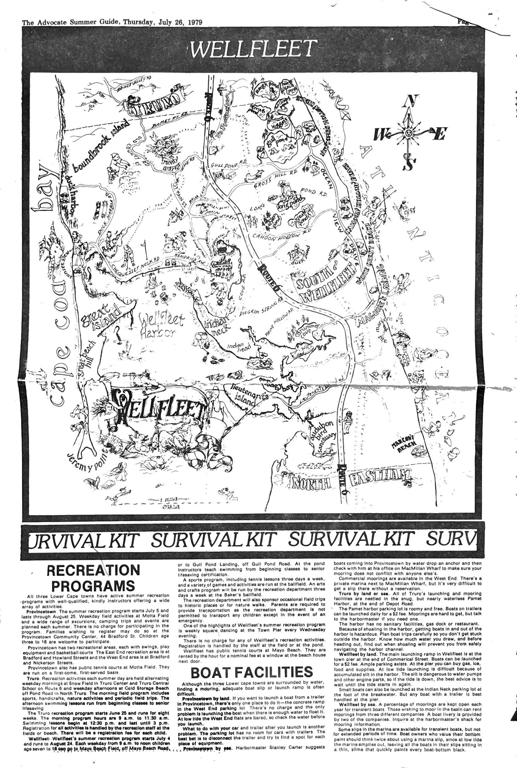
1979 Tourist Map
View fullsize
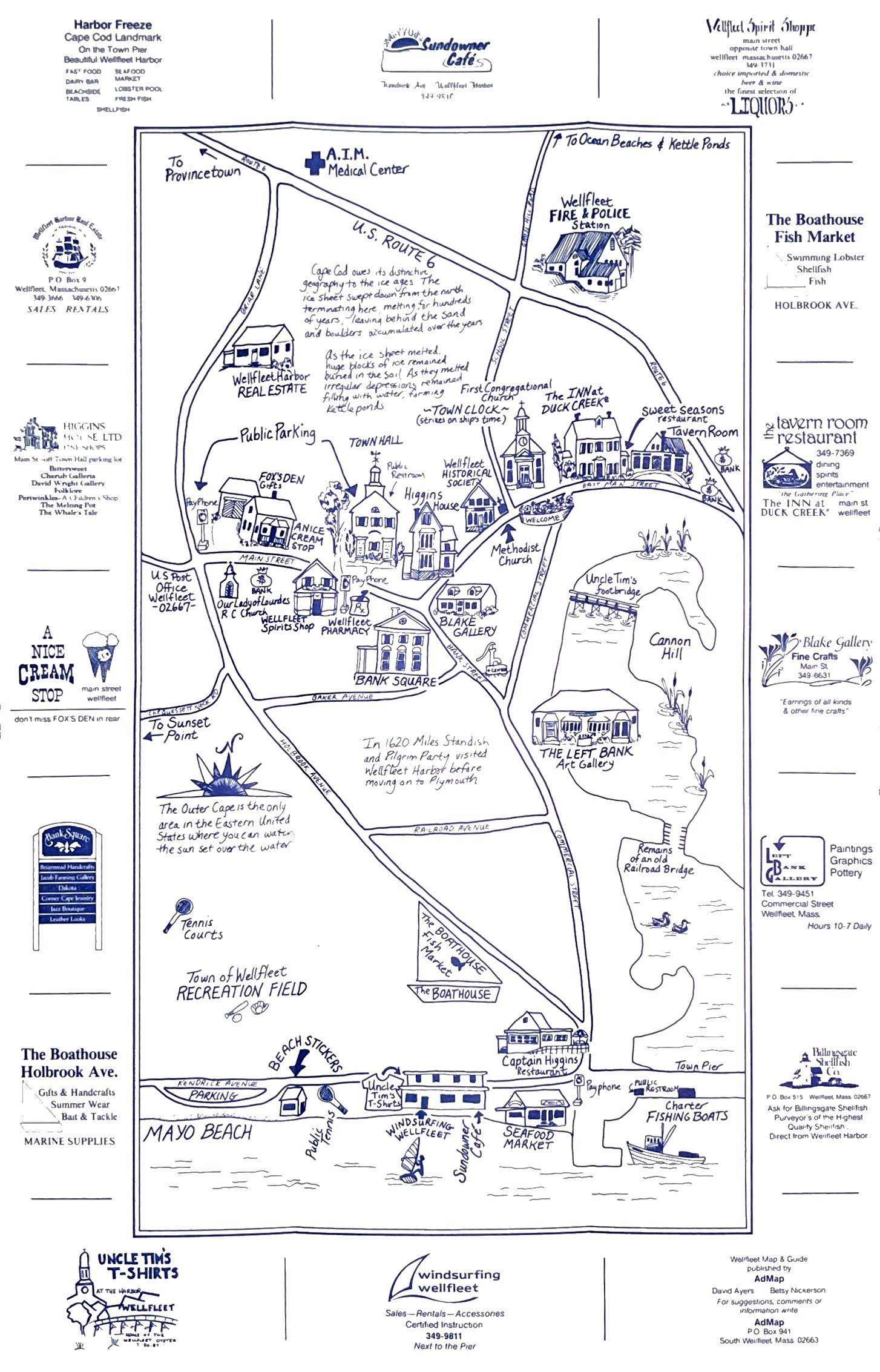
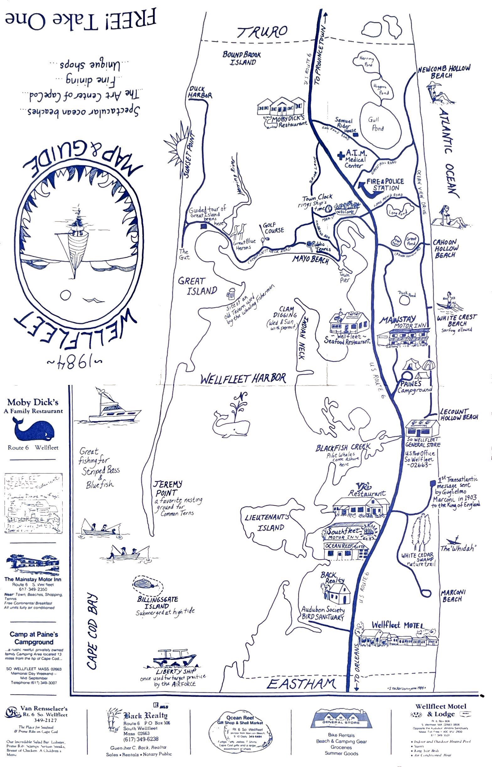
1984 Tourist Map 1
View fullsize
1984 Tourist Map 2
View fullsize
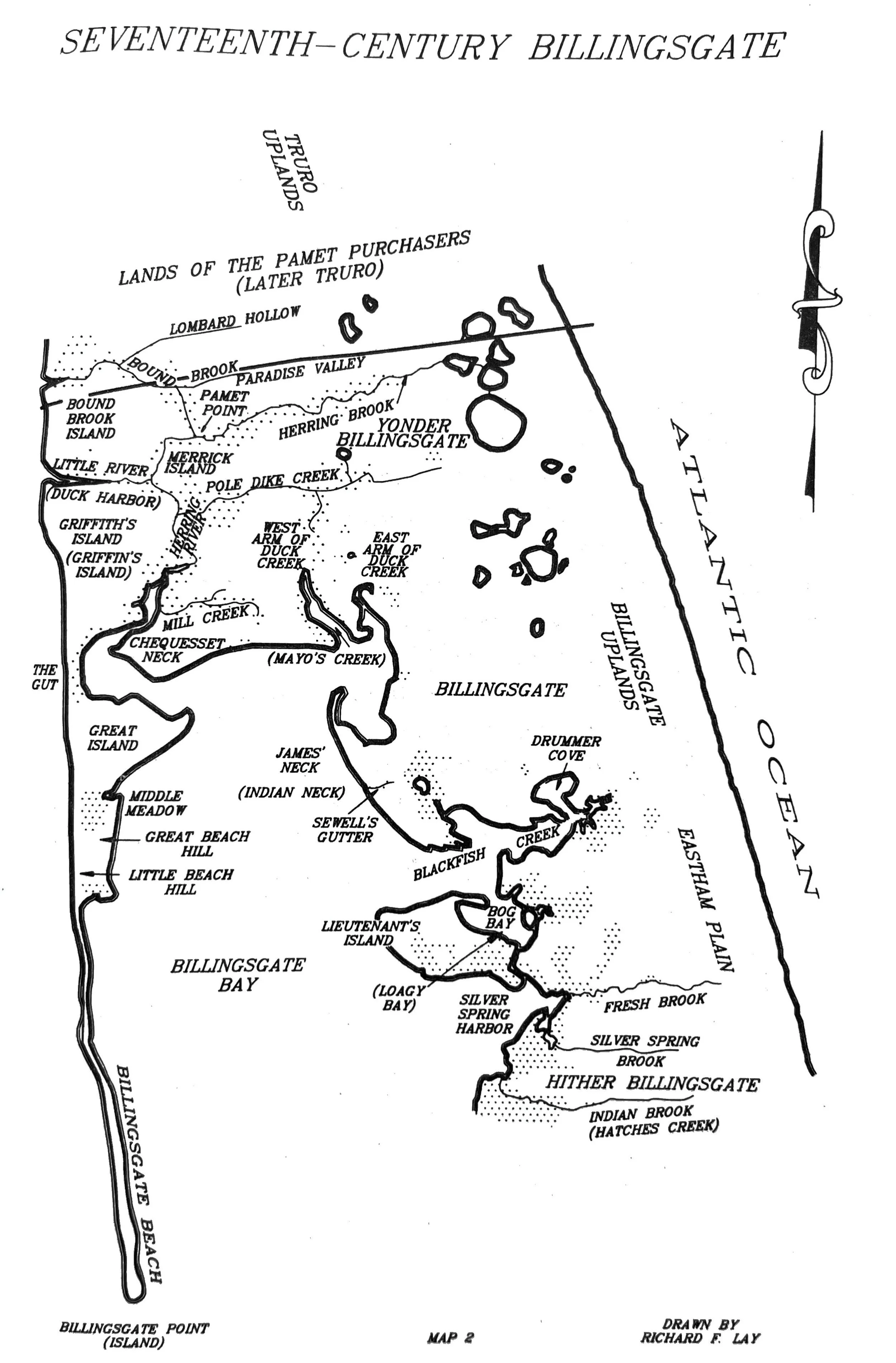
Seventeenth-Century Billingsgate Drawn by Richard F. Lay
View fullsize
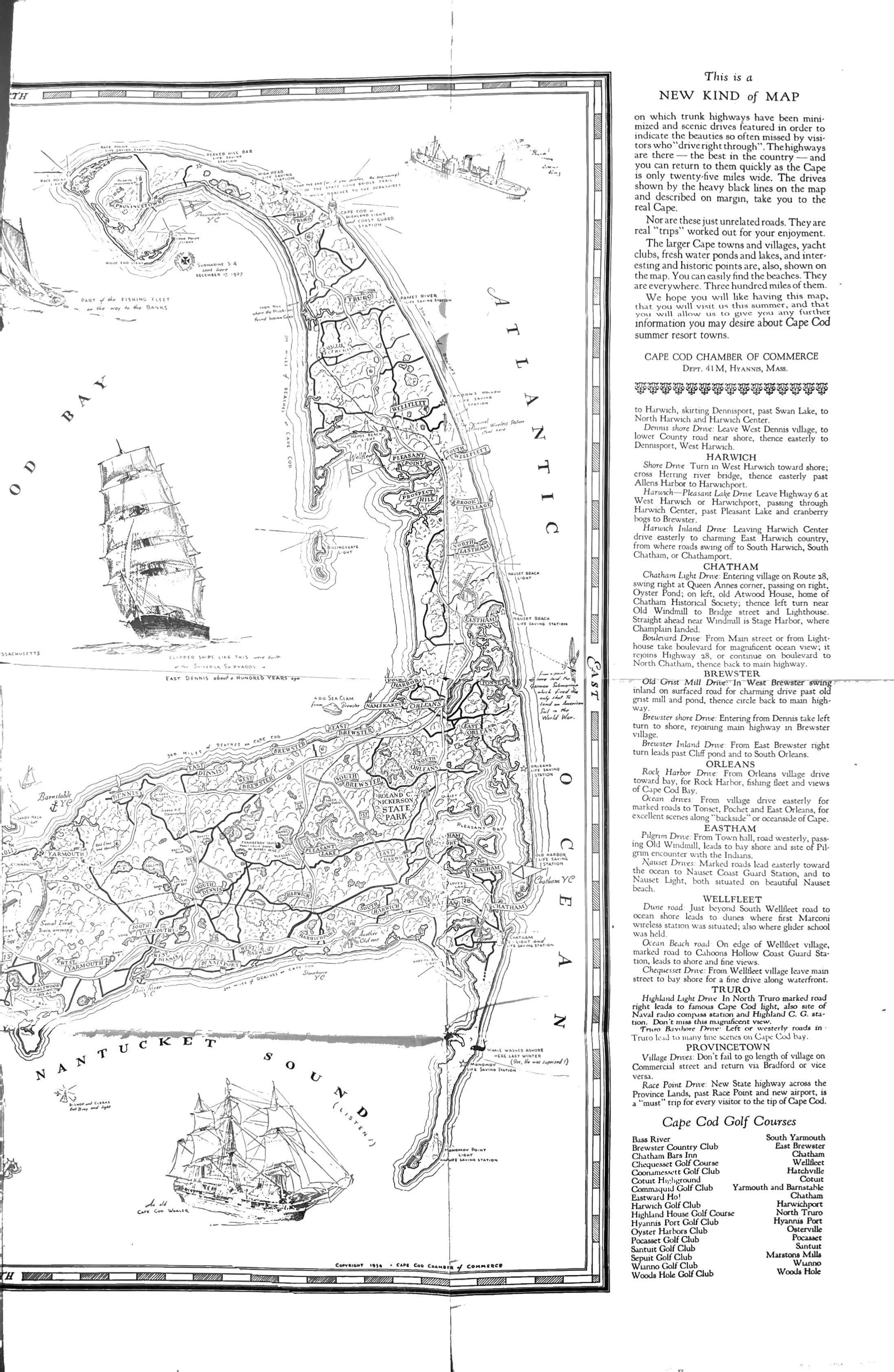
Cape Map
View fullsize
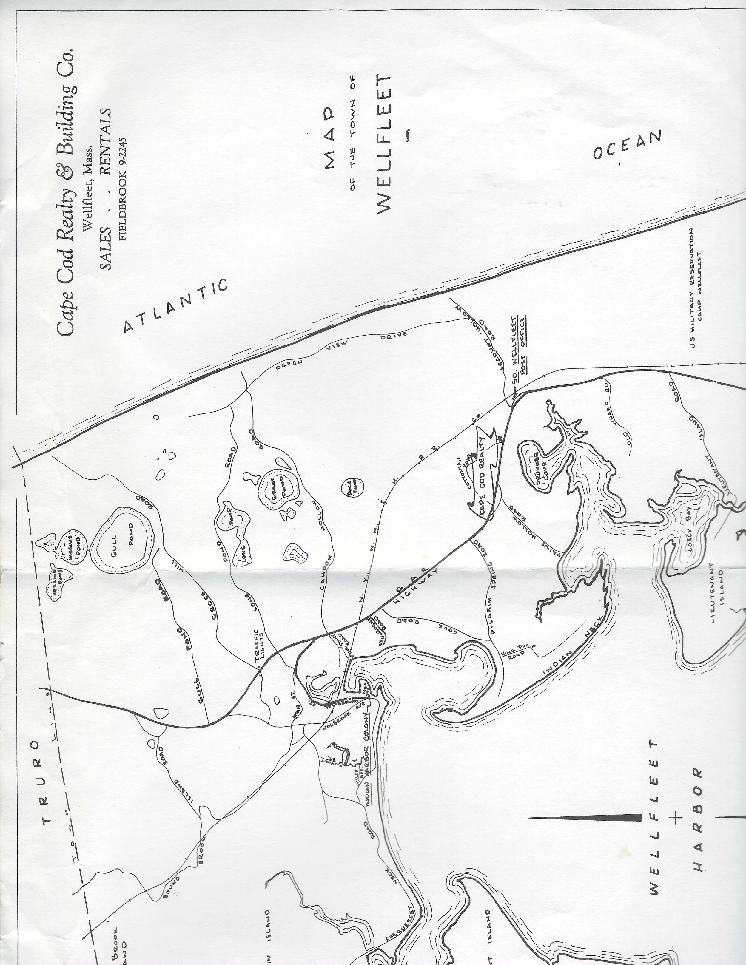
Cape Cod Realty Map of Wellfleet
View fullsize
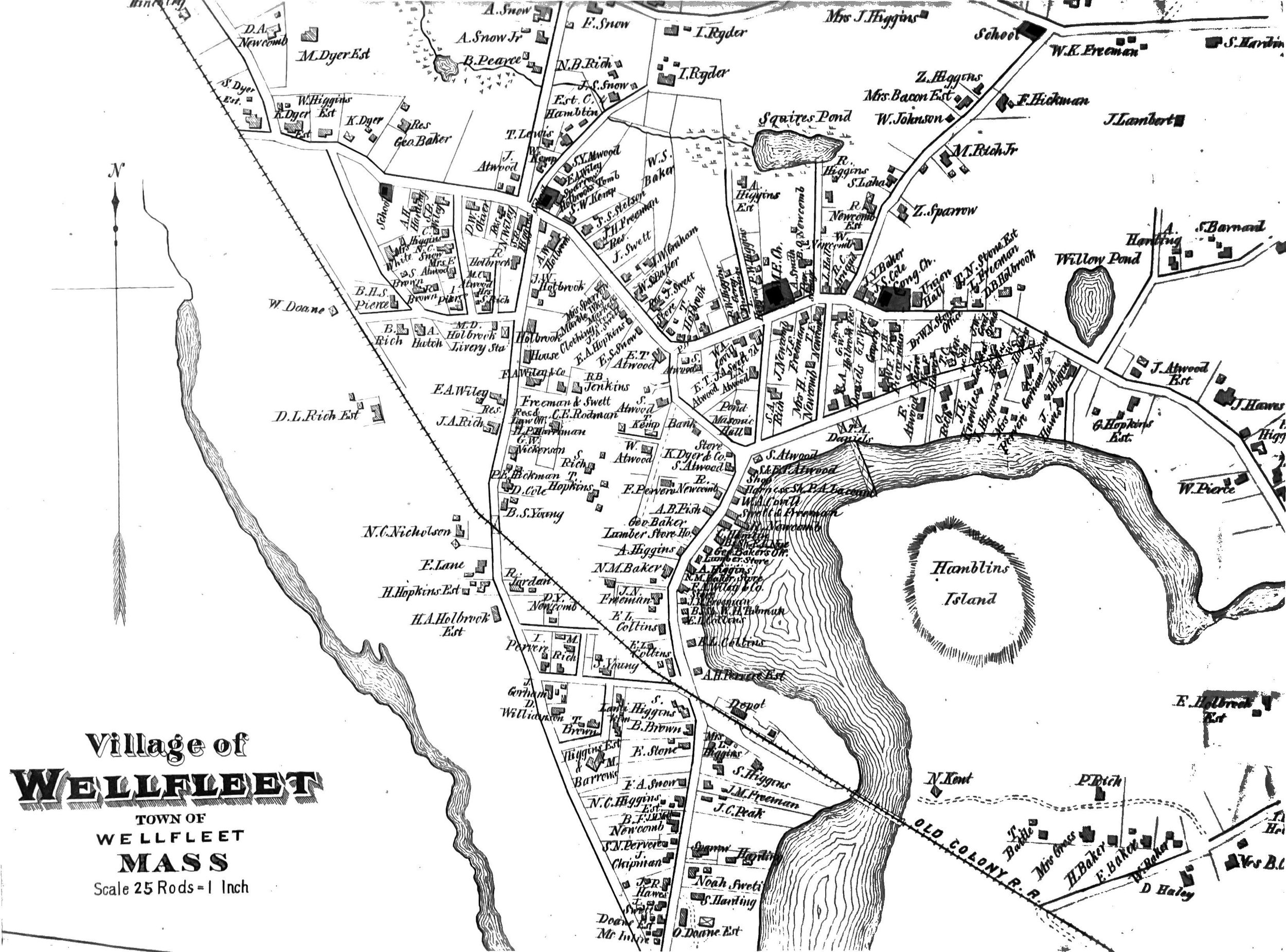
Census Map of Village of Wellfleet
View fullsize
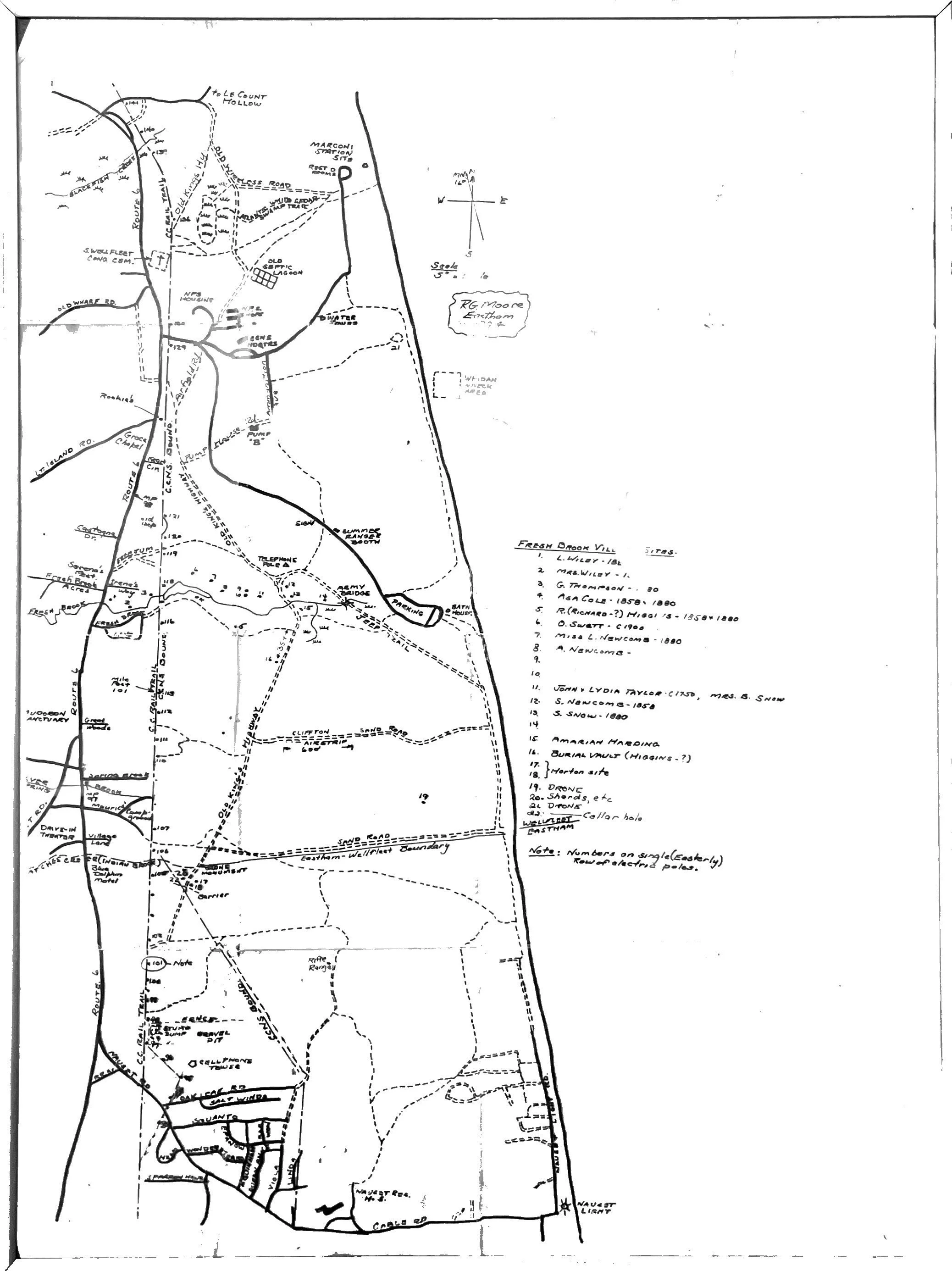
Hand Drawn Map
View fullsize
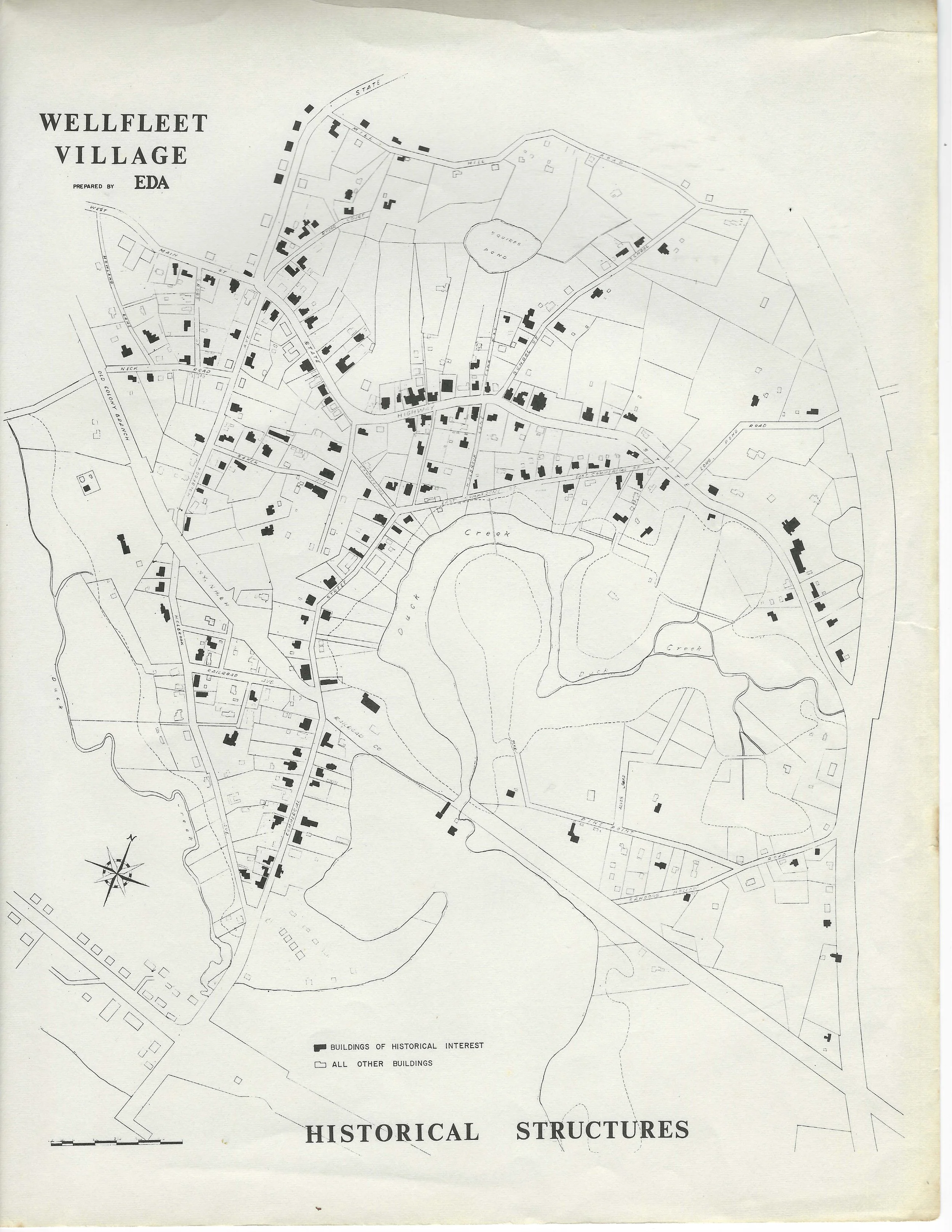
Wellfleet Village Prepared by EDA, Historical Structures
View fullsize
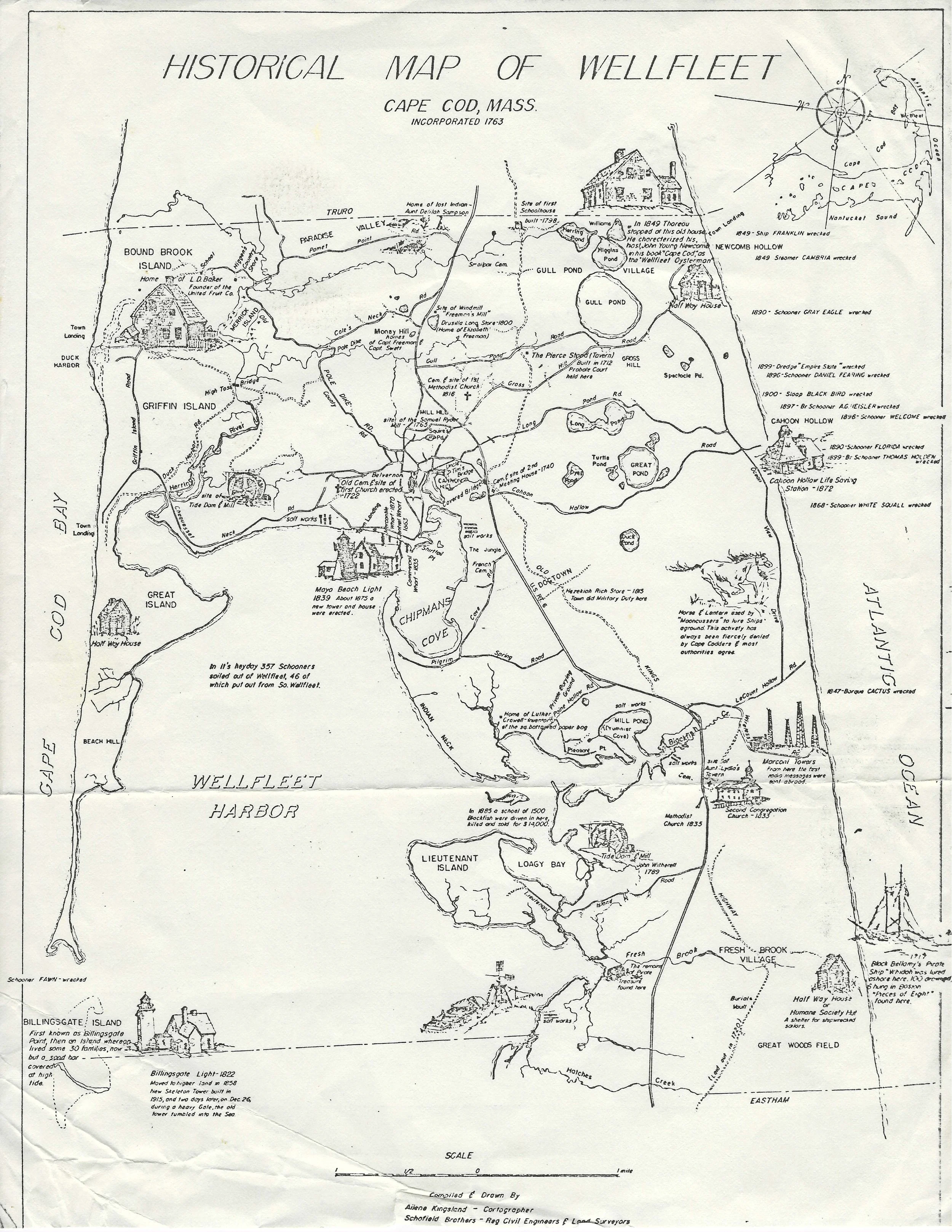
Historical Map of Wellfleet Cape Cod, Mass. Incorporated 1763
View fullsize
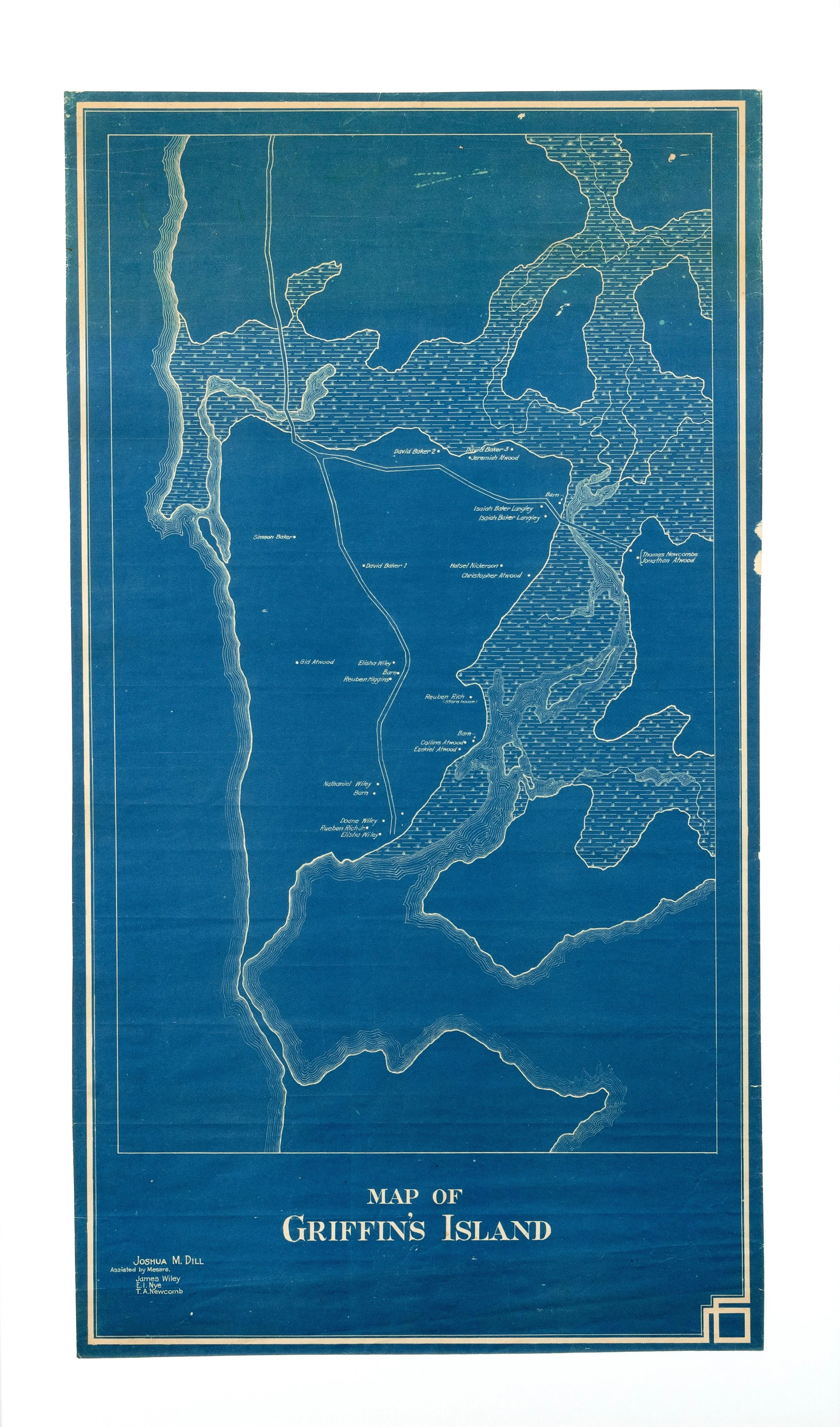
Map of Griffin's Island
View fullsize
Side Road Map
View fullsize
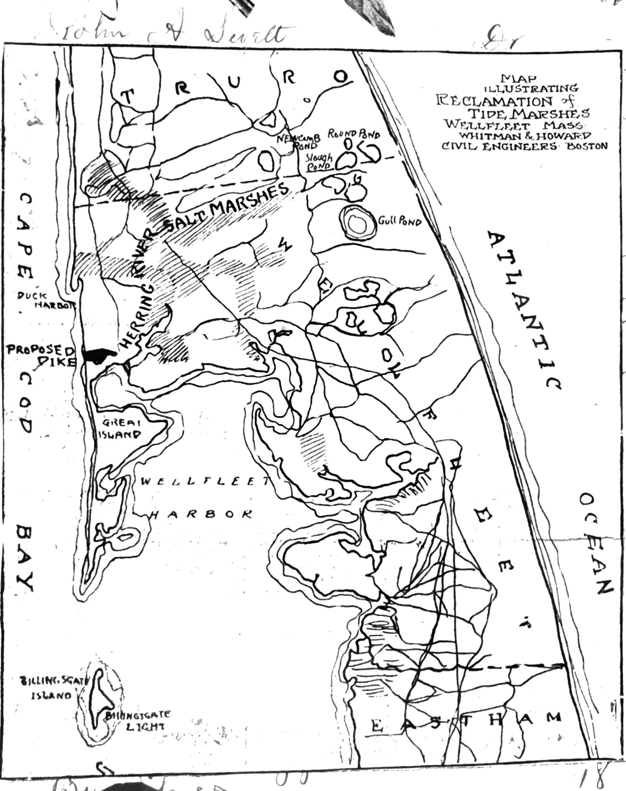
Tidal Marsh Reclamation Map
View fullsize
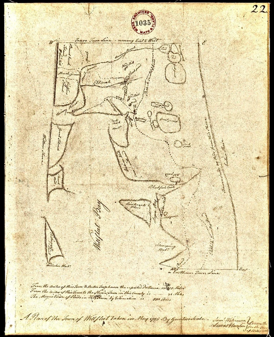
Topography Map 1795
View fullsize
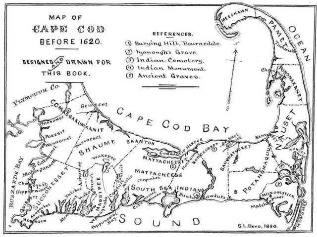
Tribal Map 1890, Cape Cod Bay
View fullsize
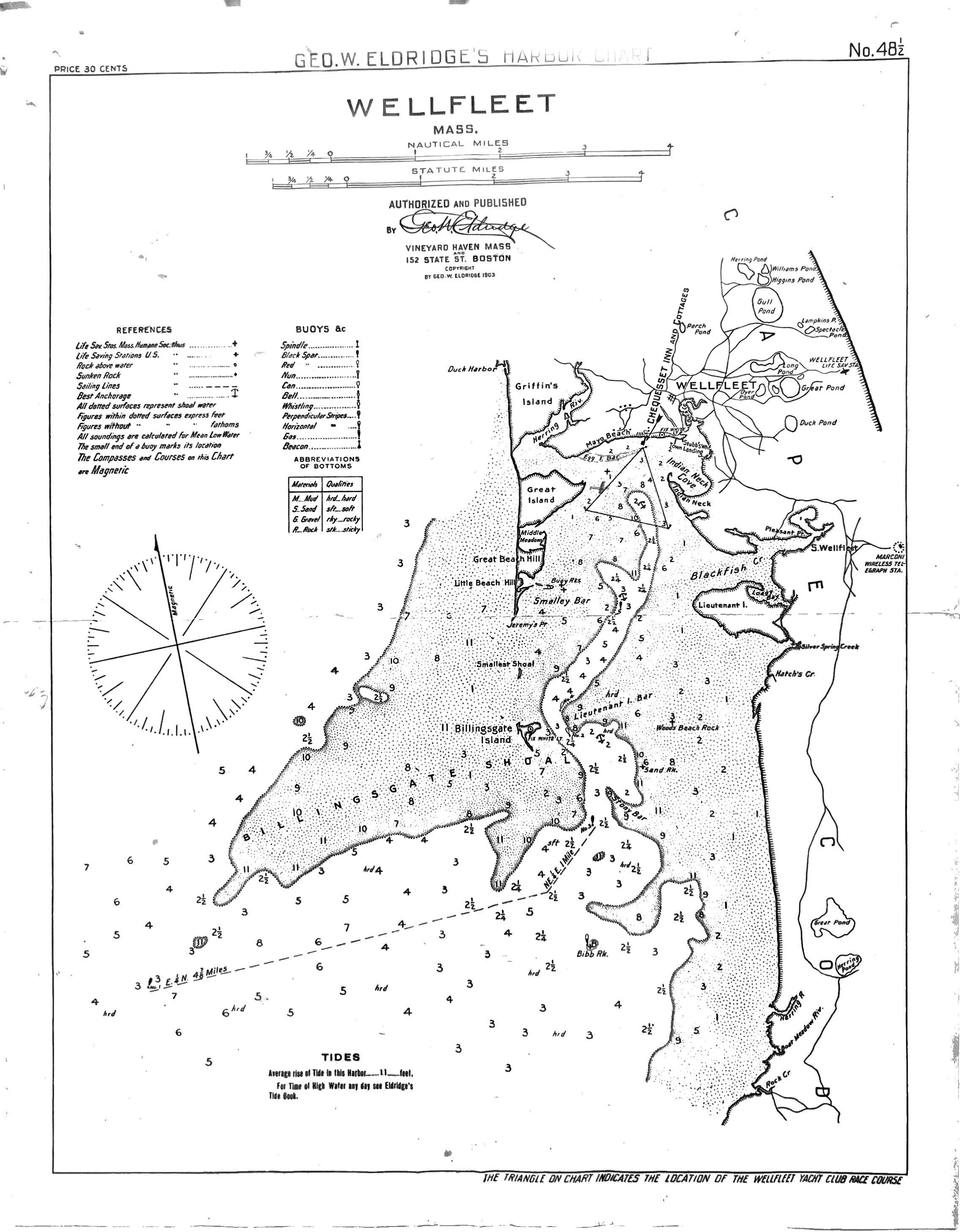
Wellfleet Yacht Club Harbor Chart
View fullsize
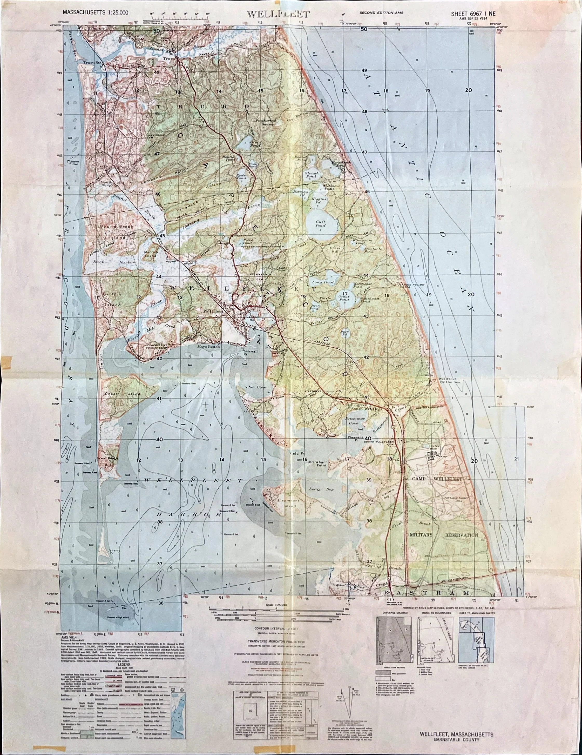
Topographical Map 1949 (Wellfleet, Massachusetts)
View fullsize
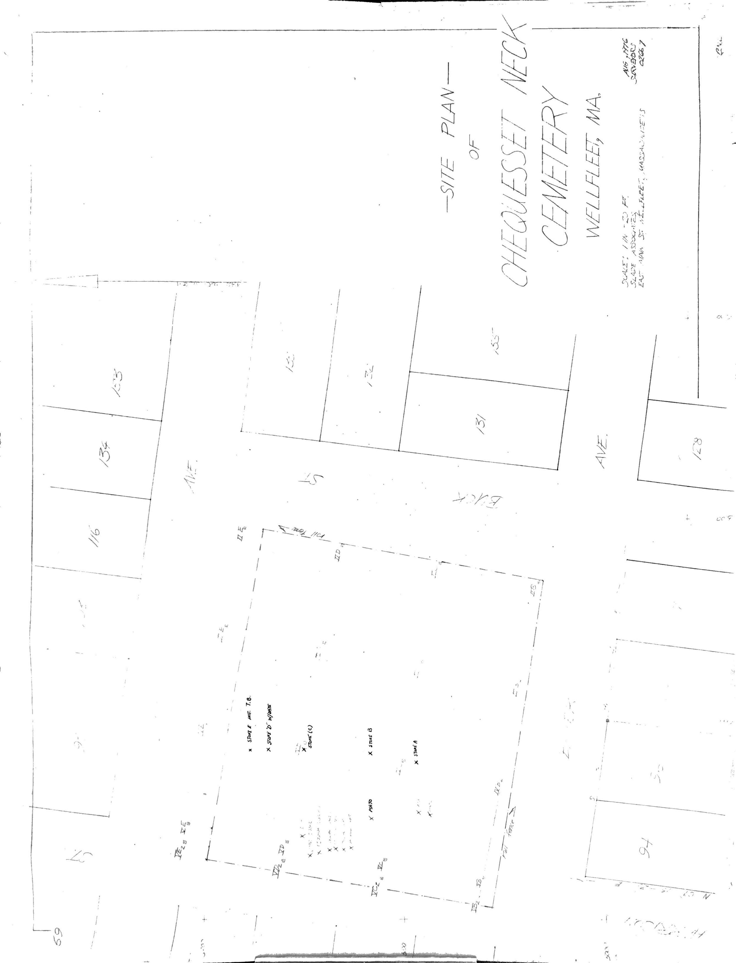
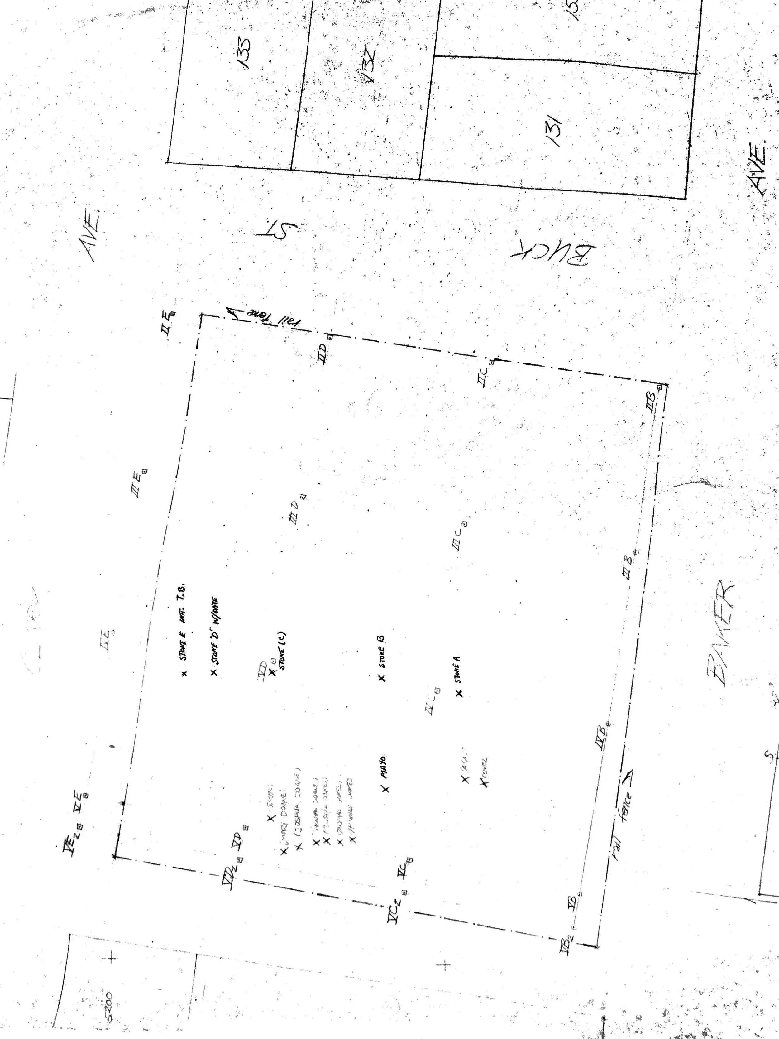
Site Plan of Chequesset Neck Cemetery
View fullsize
Site Plan of Chequesset Neck Cemetery Close-Up
View fullsize
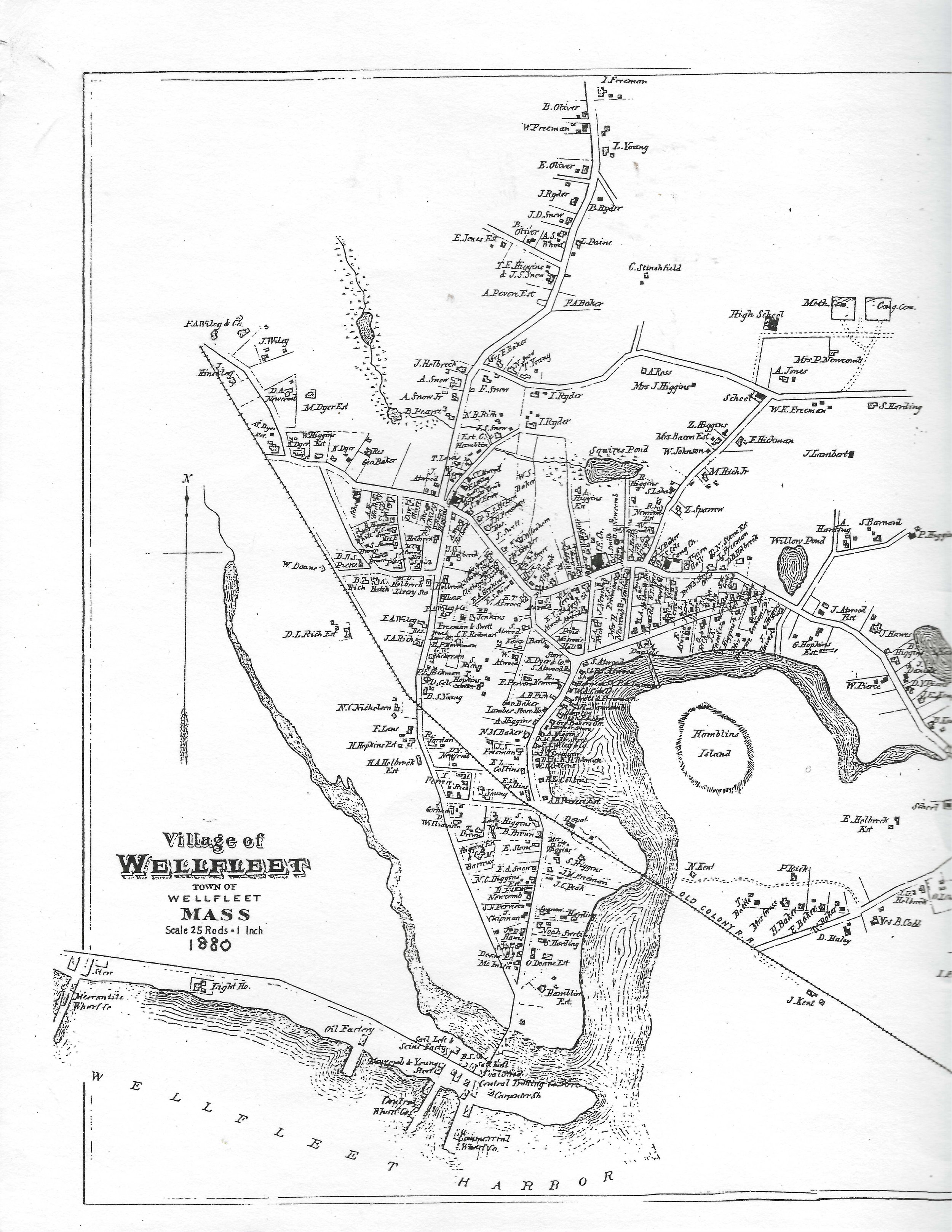
1880 Map of Wellfleet
View fullsize
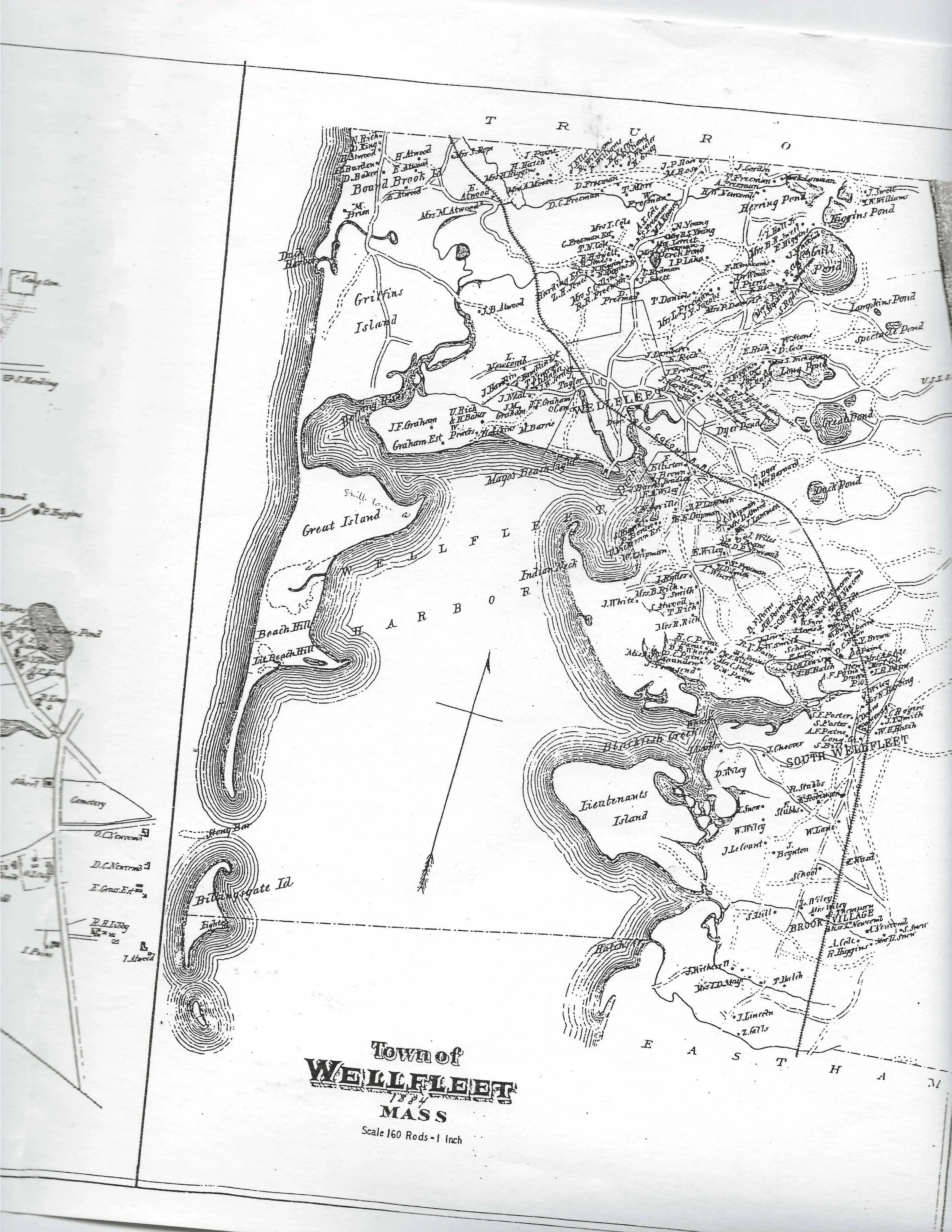
1884 Map of Wellfleet